Mastering the Piste Map: Your Ultimate Guide to Navigating Ski Resorts
May 16, 2023 | Piste Skiing, Skiing
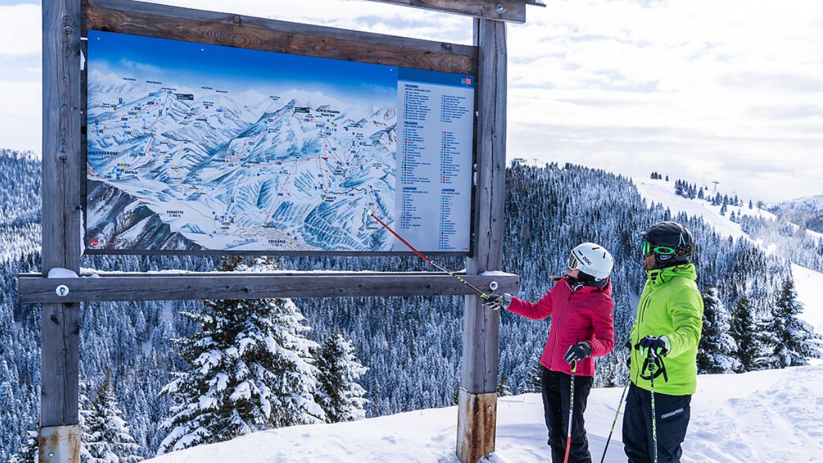
A piste map is an essential tool for any skier, helping you find your way around the ski area, locate ski lifts, and identify the difficulty level of each ski run. Whether you’re exploring the Three Valleys piste map, planning a ski holiday with Crystal Ski, or looking to ski in Meribel, understanding how to read a piste map is crucial. This guide will walk you through everything you need to know about piste maps, from color coding to lift systems, ensuring you make the most of your ski trip.
What is a Piste Map and Why Do You Need One?
A piste map is your guide to the ski resort, displaying the ski runs, lifts, and essential facilities such as rental shops, tourist information, and first aid stations. If you’re a beginner, a piste map will help you identify green runs that suit your skill level, while experienced skiers can seek out challenging red runs or off-piste areas. In addition to navigation, piste maps also indicate the locations of fun parks, hiking and touring trails, and even snow conditions updates to help you plan accordingly.
Understanding the Colors on a Piste Map
Ski slopes are color-coded to indicate their difficulty level:
- Green Run – The easiest slopes, ideal for beginners.
- Blue Run – Intermediate slopes, providing a step up from green runs.
- Red Run – Advanced slopes, requiring greater skill.
- Black Line – Expert-level slopes, often steep and challenging.
Some resorts may also have cross-country ski tracks, which are marked separately from standard pistes.
How to Read a Piste Map Efficiently
To read a piste map, start by locating your position in the ski resort. Identify the ski lifts, their endpoints, and the different ski runs available. Always check for lift pass offices and information points before heading out. Look for webcams to get real-time weather updates, as conditions can change quickly.
Exploring the Three Valleys Piste Map
The Three Valleys piste map covers one of the largest ski areas in the world, including Courchevel, Val Thorens, Les Menuires, and Meribel. With interconnected lifts and slopes, it’s essential to plan your route to ensure you make the most of your ski trip. Many resorts also provide webcams to help you monitor snow conditions and identify the best ski areas for the day.
Meribel Piste Map: Navigating a Popular Resort
The Meribel piste map is particularly useful for those skiing in Mottaret or the Three Valleys. The resort has a mix of ski slopes, ranging from beginner-friendly runs to expert-level black lines. Webcams and tourist offices provide real-time updates on ski conditions. Ski schools in the area also use the piste map to guide beginners through lessons.
Ski Lifts and Their Role in the Piste Map
Ski lifts such as chairlifts, gondolas, and drag lifts are essential for navigating the ski resort. Identifying lift stations on your piste map helps you move efficiently around the ski area. Some key lifts include the cable car and magic carpets for beginners. The ski lifts also indicate lift pass offices where you can purchase access to various parts of the resort.
Safety on the Piste: Avoiding Avalanches and Risks
Skiing comes with risks, especially avalanche hazards in off-piste areas. Always check if pistes are open and be aware of safety equipment such as transceivers and ski helmets. Patrol teams monitor ski conditions, so pay attention to their updates. Tourist information centers and first aid stations are marked on piste maps to help skiers in case of emergencies.
Planning Your Ski Route Using Piste Maps
A piste map allows you to plan your route, avoiding unnecessary detours and ensuring you stick to suitable slopes. Beginners should stick to blue runs, while advanced skiers can explore more challenging red runs and black lines. Planning ahead also helps in scheduling rest stops at chalet holidays locations, rental shops, and information points.
9. Where to Find and Download Piste Maps
You can usually find free to download piste maps from the tourist office, ski schools, and lift pass offices. Latest piste updates are also available through ski resort websites. You may also find maps available in ticket offices, giving a comprehensive guide to the resort’s available ski runs and lifts.
Top Tips for Making the Most of Your Piste Map
- Make sure you know your skill level before selecting a ski run.
- Download piste maps in advance to have a backup.
- Finding your way around is easier if you use landmarks.
- Experienced skiers and snowboarders should explore fun parks and cross-country ski tracks.
- Use rental shops to find the right gear before heading out.
- Check safety equipment before skiing on more challenging runs.
More Posts
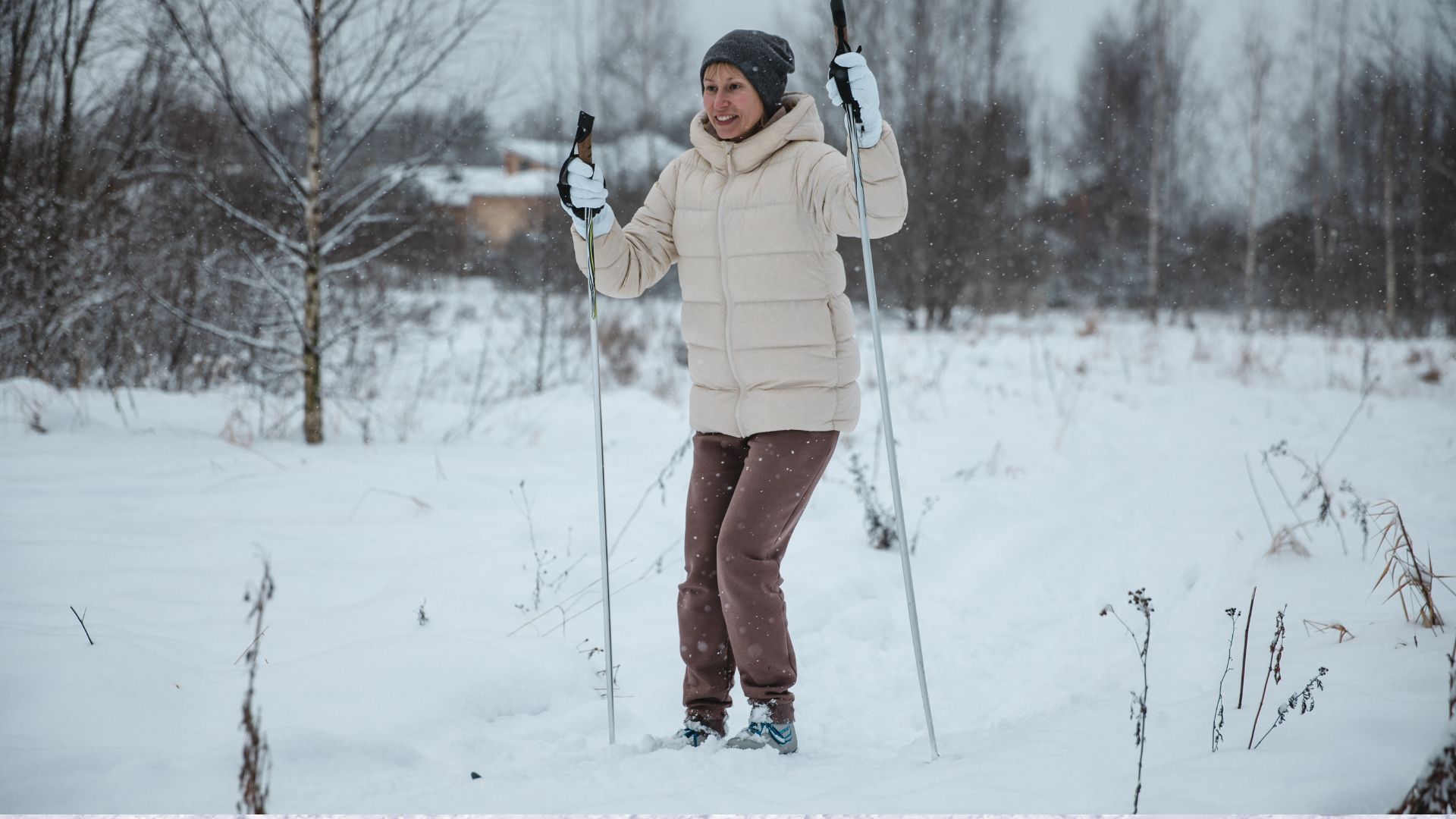
Cross‑Country Skiing: Techniques for Beginners
Cross‑country skiing is an exciting and rewarding winter sport that offers both a great workout...
read More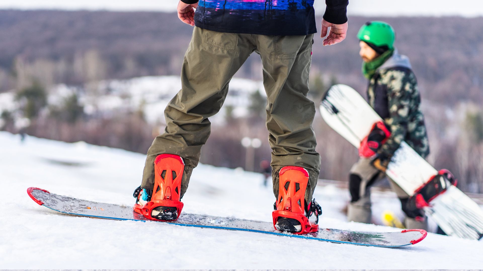
Snowboarding Boots: Essential Gear for 2026
Snowboarding boots are an essential part of your snowboarding gear, offering comfort, support, and performance...
read More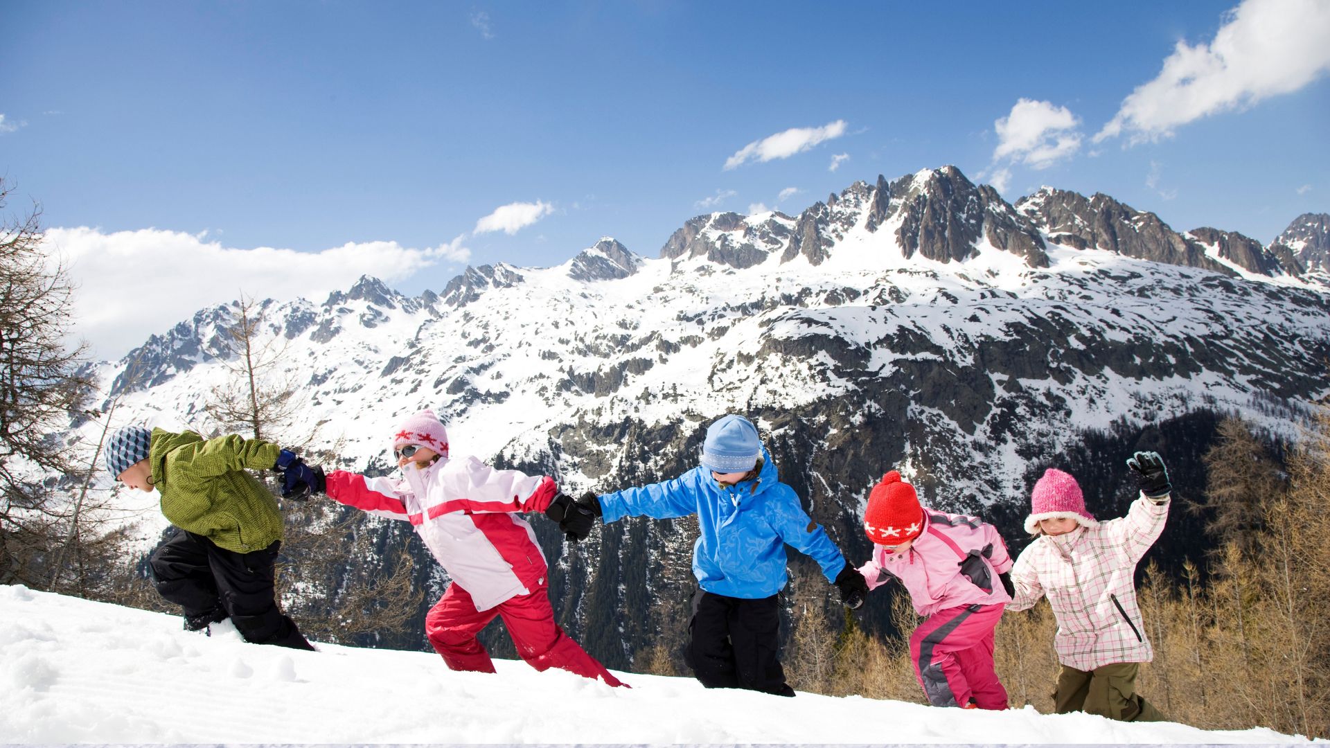
Best Kids Ski Schools: A Parent’s Complete Guide
Teaching your child how to ski is about more than just learning a new sport—it’s...
read More
Adventure Ski & Snowboard School: Everything You Need to Know
Winter sports offer more than just excitement—they create confidence, discipline, and unforgettable experiences. Choosing an...
read More
Best Ski Schools for Kids: What Truly Matters for Young Skiers
When children learn to ski the right way, it can shape how they feel about...
read More
Understanding Skiing Boarding Schools and How They Work
Education does not always follow a traditional classroom-only path. For students who thrive in structured...
read More