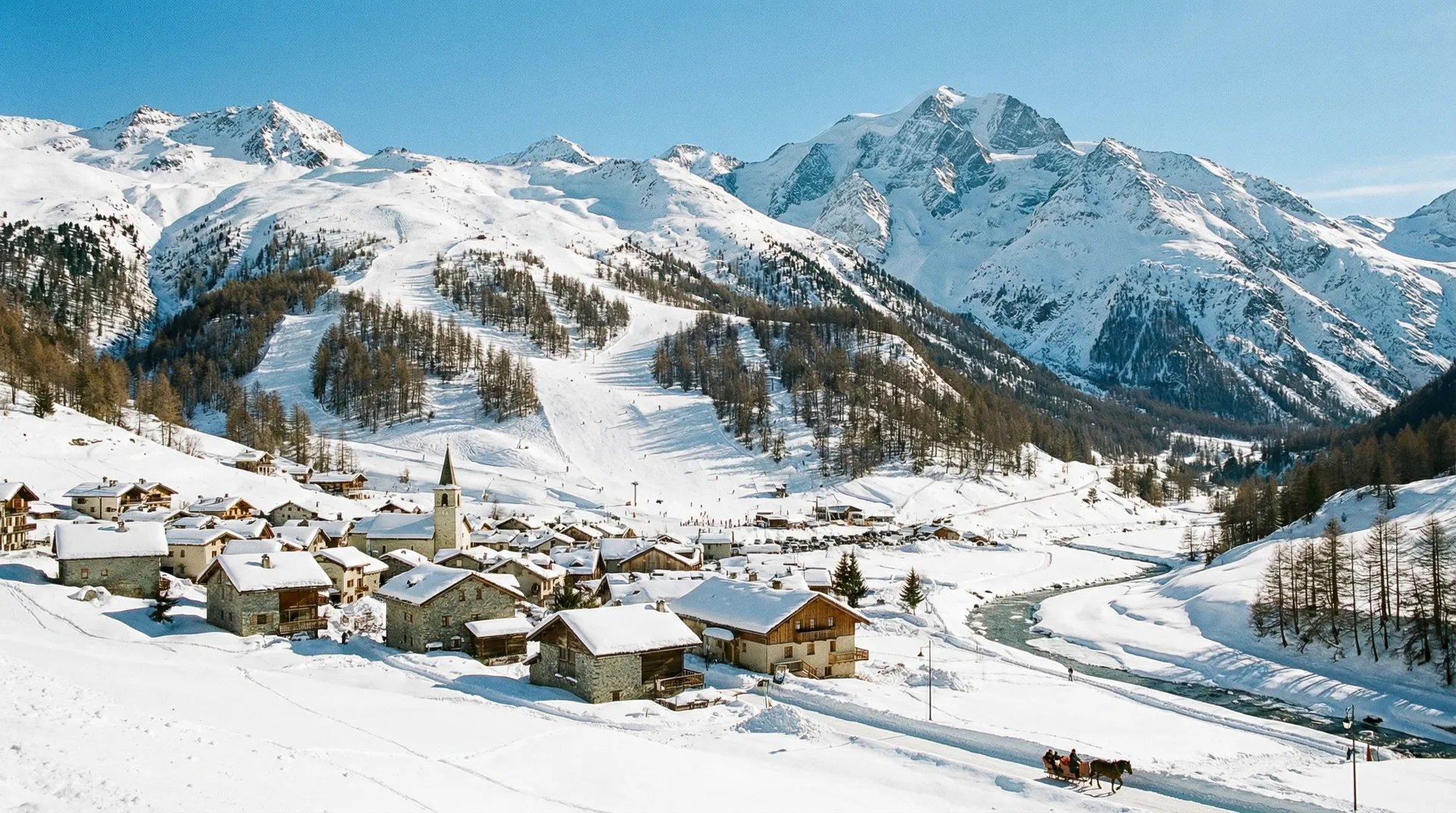
Val Cenis
France
Elevation
1,300m – 2,800m
Lifts
29
Slopes
125 km
Airport
Chambery Airport - 120 km
About Val Cenis
Val Cenis is a large ski area in the Haute Maurienne Vanoise, connecting the villages of Lanslevillard, Lanslebourg, and Termignon. It offers 125 km of slopes for all levels, spanning from 1,300m to 2,800m, and is served by 29 lifts. Chambery Airport is 120 km away.
Détails du domaine skiable
Statistiques clés
Sommet2,800m
Base1,300m
Dénivelé1,500m
Total des remontées mécaniques29
Total des pistes125 km
Pistes
Green (Beginner)17
Blue (Intermediate)21
Red (Advanced)22
Black (Expert)5
Notes
Ski
Beginners
Intermediate
Snow Guarantee
Station
Value for Money
Family Friendly
Winter Hiking
Mountain Weather
Skiing: Poor
watchHigh Wind Watch
Strong wind gusts up to 68 km/h expected. Some upper lifts may be affected.
7°C
Light Snow
Ressenti7°C
Vent2 km/h
Humidité50%
Neige98 cm
-6°C-11°C2.5 cm today07:1519:592 800m
5-Day Forecast
Wed
-5°C/-13°C
0.3 cm
9 km/h
Thu
0°C/-8°C
—
12 km/h
Fri
2°C/-7°C
—
13 km/h
Sat
4°C/-3°C
—
6 km/h
Sun
6°C/-1°C
—
9 km/h
Data: Visual Crossing · Updated 00:27
Ski Area Map
Explore the ski runs and pistes around Val Cenis. Toggle the ski piste overlay using the layer control.

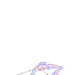

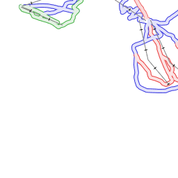

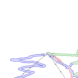

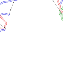
Ski piste data from OpenSnowMap.org (CC-BY-SA)


Avis
No reviews yet. Be the first to review Val Cenis!

More Resorts in Haute Maurienne Vanoise
Explore other resorts in the Haute Maurienne Vanoise ski area